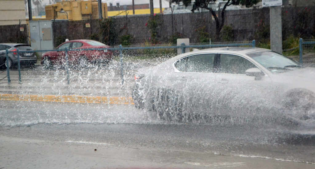
A week of rain washed into the region Monday bringing with it high surf, mudslides and some localized flooding.
The National Weather Service issued a high surf advisory for the region warning of breaking waves of 4 to 7 feet with max sets to 8 feet. The warning said waves would increase to 5 to 8 feet this afternoon through Tuesday and the high surf is likely to continue Tuesday night through Friday. According to the NWS, a high surf produces localized beach erosion and dangerous swimming conditions including sneaker waves and rip currents.
The Los Angeles County Department of Public Health extended a water quality advisory due to the rain.
“The advisory will be in effect at least until 9 a.m., Thursday, January 17, 2019. Beach users are cautioned to avoid water contact for at least 72 hours after significant rainfall,” said the statement. “This advisory may be extended depending upon further rainfall.”
The advisories are issued when rain washes pollution from roads into the ocean elevating dangerous bacteria levels.
“Bacteria levels may remain elevated up to 3 days depending upon the intensity of the rain and the volume of runoff,” said the county warning. “Elevated bacteria levels in ocean water may cause illness, especially in children and the elderly. The Department of Public Health recommends that beach users avoid contact with ocean water for a period of 3 days after significant rainfall, especially near flowing storm drains, creeks and rivers.”
Forecasters also issued a flood warning that included many of the areas burned in the recent Woolsey Fire. Moderate rain was recorded over the region with rates up to half an inch per hour. “The heaviest rain was over the Santa Monica mountains, including portions of the Woolsey burn scar where shallow debris flows impacting roads and canyons is possible,” said the NWS statement.
Mudslides in Malibu did close portions of the PCH to the Ventura County line and Highway 1 was also closed in Big Sur due to another mid slide. The I-5 Freeway was closed for much of the day due to snow.
“After the recent snow event across the Midwest through the Mid-Atlantic,
our attention are turning to the West Coast as multiple energetic weather
systems from the Pacific are forecast to move onshore during the next few
days,” said the National Weather Service forecast. “Heavy precipitation associated with first wave of these weather systems is already impacting central and southern California. The result is widespread rain which could cause some localized flooding, especially for the coastal mountain ranges in southern California. Farther inland, heavy snow is likely for the Sierra Nevada where accumulations could exceed two feet through Wednesday. The associated moisture will penetrate well inland during the next couple of days, reaching the central Rockies in the form of mountain snows on Wednesday. In the meantime, moisture associated with a more energetic low pressure system is forecast to reach the Pacific Northwest coast and northern California later on Wednesday.”
The California storms were in contrast to most of the country where relatively quiet weather is expected through Wednesday and temperatures are generally warmer than normal.
Santa Monica Forecast
Tuesday: Rain. High near 61. Southeast wind around 10 mph. Chance of precipitation is 100%.
Tuesday Night: Rain. Low around 53. East southeast wind around 10 mph. Chance of precipitation is 80%.
Wednesday: Rain likely. Cloudy, with a high near 62. East southeast wind around 10 mph. Chance of precipitation is 70%.
Wednesday Night: Rain. Low around 53. Chance of precipitation is 80%.
Thursday: Rain. High near 62. Chance of precipitation is 90%.
Thursday Night: A chance of showers. Mostly cloudy, with a low around 50.
Friday: Partly sunny, with a high near 65.


