
CROSSROADS — Memorial Park Neighborhood planners are looking to spruce up Colorado Boulevard while adhering to the density and height restrictions of the Land Use and Circulation Element, city officials said at the first community meeting about the project Monday night.
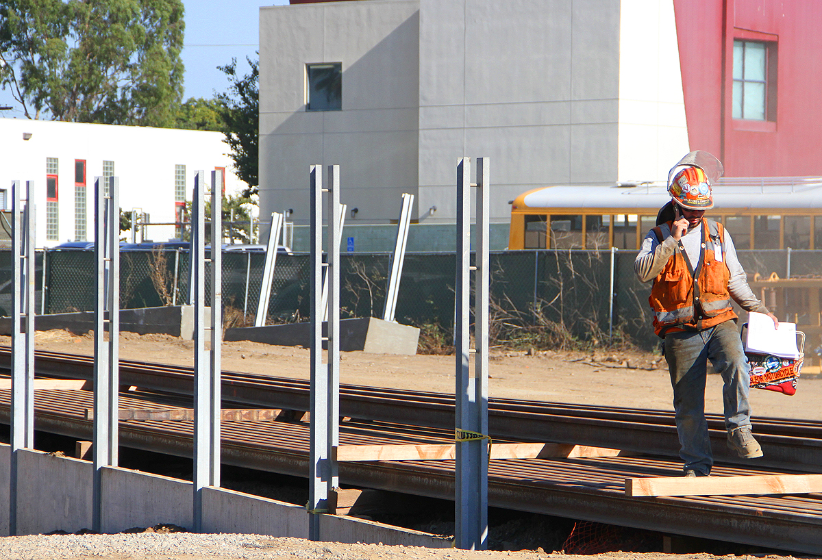
The Exposition Light Rail Line Memorial Park station will be in the area of Santa Monica College, Saint John's Health Center, and the UCLA Medical Center, which serve or employ about 36,000 people combined, said Peter James, strategic planner. The Expo station at 17th Street and Colorado Boulevard is projected to be operational by mid-2015.
City officials and the project's consultants spoke to about 50 community members at Crossroads School before breaking off into small groups to discuss the plan. They emphasized that the project will be working within the framework defined by the Land Use Circulation Element, a planning document expected to dictate how land is used in the city by the sea for the next 20 years or more.
"In this case it defined our maximum heights and floor area ratio," said Francie Stefan, city planner. "I know a lot of you care about density and growth issues."
Building heights, as defined by the LUCE, range from two- to five-stories. The base floor area ratio (FAR) is 1.5, with a max of 2.0 FAR. The LUCE allows for a small increase in FAR under specific provisions. FAR is the ratio of a building's total floor area to the size of the piece of land it sits on.
City officials are expanding the boundaries of the plan — the focus of which is Memorial Park — as they are defined by the LUCE, said city official Joanna Hankamer. Boundaries originally established as Olympic Boulevard and Colorado Boulevard are expanding to Wilshire Boulevard and Pico Boulevard to encompass the hospitals and the college.
The LUCE calls for nearly doubling the park's size, which John Kaliski, project consultant, called "a fantastic idea." One proposal for expanding the park is through a capping of Interstate 10.
"I think all of us know that that's probably a very ambitious endeavor but one of the reasons we wanted [Tongva Park engineers] Buro Happold on our team is that they have specific experience with doing those types of projects and they should be able to bring a dose of pragmatism to that idea and figure out how it might be possible," he said.
An unscientific poll of more than 70 respondents conducted by the consulting group found that currently many people do not use the park itself. Most people use it for active recreation.
"This is identified as a activity center-low," James said of the area as a whole. "It's a lesser-than activity center than the big boys at Bergamot and Downtown."
The poll also showed that while residents of the neighborhood used several means of transportation, including bikes, cars, buses, and walking, people who work in the neighborhood rely heavily on cars.
From 17th Street to the Downtown station at Fourth Street, the Expo Line will run above ground and City Council has expressed a desire to improve Colorado Boulevard, where the train will run, to show Santa Monica's "best side," Hankamer said.
The south side of Colorado is being rebuilt, she said, with new trees and a relocated curb. City Hall received a grant from Metro to improve landscaping on the north side of Colorado in the same way.
For more information on the Memorial Park plan, visit smgov.net and search "Memorial Park Neighborhood," e-mail memorialparkplan@smgov.net, or call (310) 458-8341
dave@www.smdp.com


